The advent of satellite and drone technology has revolutionized crop health monitoring, offering farmers unprecedented insights into their fields. These advanced tools provide high-resolution imagery and data that enable precise assessment of crop conditions, helping to optimize yields and reduce resource waste. By leveraging remote sensing capabilities, agriculturalists can now detect early signs of stress, disease, or nutrient deficiencies across vast areas with remarkable accuracy.
Remote monitoring technologies have become increasingly sophisticated, allowing for detailed analysis of various crop health indicators. From measuring chlorophyll content to identifying water stress, these systems offer a comprehensive view of field conditions that was previously unattainable. As climate change and resource scarcity pose growing challenges to agriculture, the ability to monitor crops efficiently and effectively has become more critical than ever.
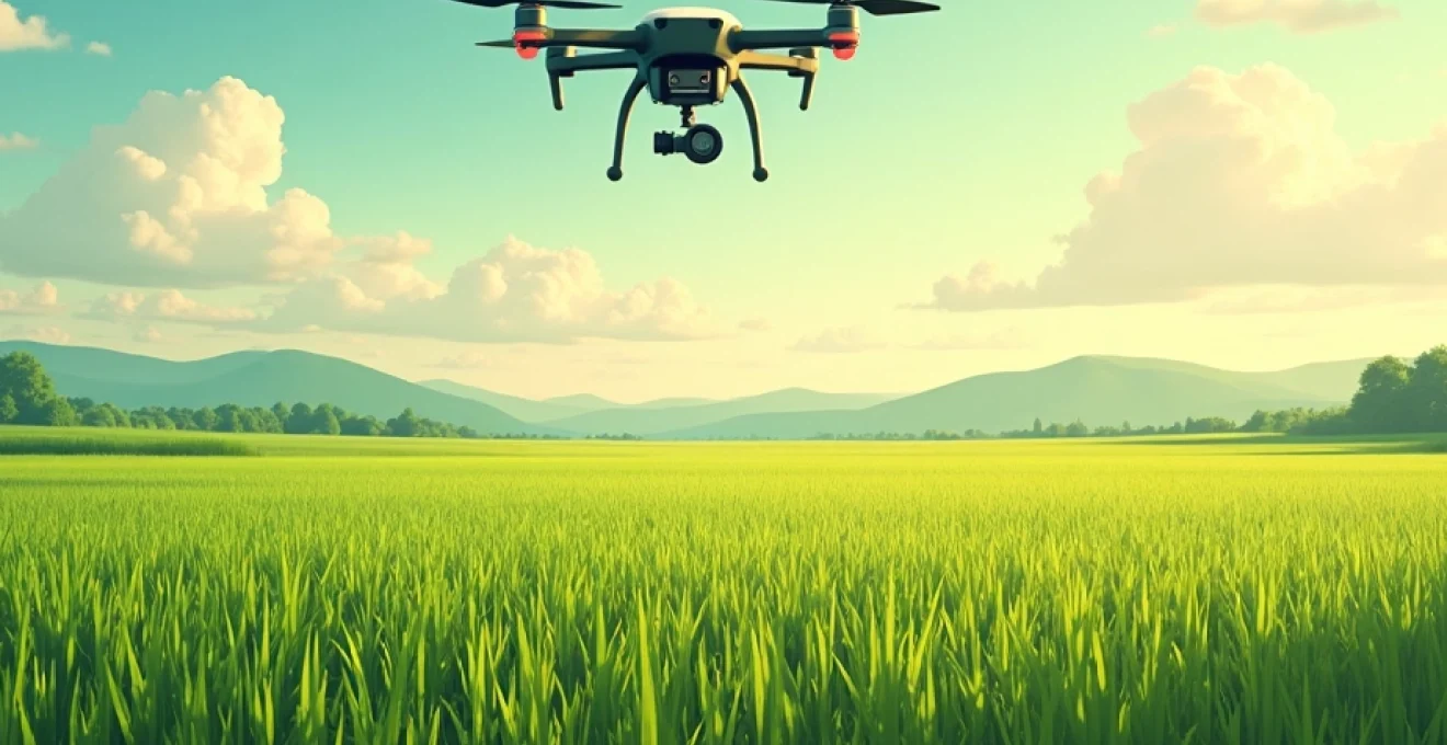
Satellite and drone imaging technologies for crop monitoring
Satellite and drone technologies have emerged as powerful tools for crop health assessment, each offering unique advantages. Satellites provide broad coverage and frequent revisit times, allowing for consistent monitoring of large agricultural areas. They capture images using various spectral bands, enabling the analysis of different aspects of plant health and soil conditions.
Drones, on the other hand, offer flexibility and ultra-high-resolution imagery. They can be deployed on-demand to capture detailed images of specific field areas, providing farmers with immediate insights into crop conditions. Drones are particularly useful for smaller fields or when rapid assessment is needed, such as after extreme weather events.
Both technologies utilize advanced sensors to collect data beyond what the human eye can see. This includes multispectral and hyperspectral imaging, which can reveal subtle changes in plant physiology and soil characteristics. By combining these technologies, farmers can create a comprehensive monitoring system that provides both broad overview and detailed analysis of their crops.
Multispectral and hyperspectral sensors in agricultural remote sensing
Multispectral and hyperspectral sensors are at the forefront of agricultural remote sensing, offering detailed insights into crop health and soil conditions. These sensors capture data across multiple wavelengths of the electromagnetic spectrum, including visible light and near-infrared radiation.
Multispectral sensors typically collect data in 3-10 broad bands, which is sufficient for many agricultural applications. They are widely used in both satellite and drone-based systems due to their balance of cost-effectiveness and data quality. Hyperspectral sensors, in contrast, can capture hundreds of narrow bands, providing even more detailed information about plant and soil properties.
The data collected by these sensors can be used to calculate various vegetation indices, which are mathematical combinations of different spectral bands. These indices serve as indicators of plant health, stress, and other important characteristics. By analyzing these indices over time, farmers can track changes in crop conditions and make informed management decisions.
NDVI (normalized difference vegetation index) analysis for crop health assessment
NDVI is one of the most widely used vegetation indices in agricultural remote sensing. It leverages the fact that healthy plants reflect more near-infrared light and absorb more red light compared to unhealthy or stressed plants. The NDVI is calculated using the following formula:
NDVI = (NIR - Red) / (NIR + Red)
Where NIR is the reflectance in the near-infrared band and Red is the reflectance in the red band. NDVI values range from -1 to 1, with higher values indicating healthier vegetation. This index is particularly useful for assessing biomass, leaf area index, and overall plant vigor.
NDVI analysis can reveal patterns of crop growth, identify areas of stress or disease, and help predict yields. By comparing NDVI values across a field or over time, farmers can detect anomalies and take targeted action to address issues before they become severe. This targeted approach can lead to more efficient use of resources and improved crop management strategies.
Thermal imaging for water stress detection in crops
Thermal imaging is a powerful tool for detecting water stress in crops, which is crucial for optimizing irrigation and improving water use efficiency. Thermal cameras measure the surface temperature of plants, which can indicate their water status. Plants experiencing water stress tend to have higher surface temperatures due to reduced transpiration.
By analyzing thermal imagery, farmers can create temperature maps of their fields, identifying areas where crops may be under-watered or where irrigation systems may be malfunctioning. This information allows for precise irrigation management, ensuring that water is applied only where and when it is needed.
Thermal imaging can also help in detecting other issues that affect plant temperature, such as pest infestations or soil compaction. By integrating thermal data with other remote sensing information, farmers can gain a comprehensive understanding of their crops’ health and stress levels.
Lidar technology for 3D crop canopy mapping
Light Detection and Ranging (LiDAR) technology has emerged as a valuable tool for creating detailed 3D maps of crop canopies. LiDAR sensors emit laser pulses and measure the time it takes for the light to reflect back, allowing for precise measurement of distances and creation of point clouds representing the physical structure of crops.
This technology enables farmers to assess crop height, density, and overall canopy structure with remarkable accuracy. LiDAR data can be used to estimate biomass, detect lodging (when crops fall over due to wind or rain), and even count individual plants in some cases. This level of detail is particularly useful for precision agriculture applications and crop breeding programs.
LiDAR mapping can also provide insights into field topography and drainage patterns, which are crucial for water management and erosion control. By combining LiDAR data with other remote sensing information, farmers can create comprehensive digital models of their fields, facilitating more informed decision-making across various aspects of crop management.
SAR (synthetic aperture radar) for All-Weather crop monitoring
Synthetic Aperture Radar (SAR) technology offers a unique advantage in crop monitoring: the ability to capture data regardless of weather conditions or time of day. Unlike optical sensors, which rely on sunlight and clear skies, SAR systems actively emit microwave signals and measure their reflections from the Earth’s surface.
This capability makes SAR particularly valuable in regions with frequent cloud cover or during critical growth stages that may coincide with unfavorable weather conditions. SAR data can provide information on crop structure, soil moisture, and even detect flooding or waterlogging in fields.
Advanced SAR techniques, such as polarimetric SAR, can offer additional insights into crop characteristics and growth stages. By analyzing how the radar signals interact with different parts of the plants, researchers and farmers can estimate crop biomass, monitor phenological stages, and even differentiate between crop types.
Data processing and analysis techniques for crop health metrics
The vast amount of data generated by satellite and drone-based sensors requires sophisticated processing and analysis techniques to extract meaningful insights. Advanced algorithms and machine learning models are increasingly being employed to interpret remote sensing data and provide actionable information to farmers and agronomists.
Data fusion techniques are often used to combine information from multiple sensors or platforms, creating a more comprehensive picture of crop health. For example, optical imagery might be combined with SAR data to improve the accuracy of crop classification or yield prediction models.
Time series analysis is another crucial technique in crop monitoring. By analyzing data collected over multiple dates, it’s possible to track crop development, detect changes in health status, and even predict future conditions based on historical patterns and current trends.
Machine learning algorithms for crop disease detection
Machine learning algorithms have revolutionized the way crop diseases are detected and managed. These algorithms can analyze vast amounts of remote sensing data to identify patterns and anomalies that may indicate the presence of diseases or pests.
Convolutional Neural Networks (CNNs), a type of deep learning algorithm, have shown particular promise in analyzing multispectral and hyperspectral imagery for disease detection. These models can be trained on large datasets of healthy and diseased crops, learning to recognize subtle spectral signatures associated with various plant pathogens.
Other machine learning techniques, such as Random Forests and Support Vector Machines, are also widely used for crop health classification tasks. These algorithms can integrate multiple data sources, including spectral indices, thermal data, and even weather information, to improve the accuracy of disease detection and prediction.
Time series analysis of satellite imagery for growth tracking
Time series analysis of satellite imagery is a powerful approach for tracking crop growth and development over entire growing seasons. By analyzing sequences of images captured at regular intervals, farmers and researchers can monitor changes in vegetation indices, detect phenological stages, and identify deviations from expected growth patterns.
Advanced time series techniques, such as harmonic analysis and dynamic time warping, can be used to extract meaningful patterns from noisy satellite data. These methods can help in distinguishing between normal seasonal variations and anomalies that may indicate stress or disease.
Predictive models based on time series analysis can forecast future crop conditions, helping farmers anticipate and prepare for potential issues. This proactive approach to crop management can lead to more timely interventions and improved yields.
Cloud-based platforms for agricultural big data management
The sheer volume of data generated by remote sensing technologies has led to the development of cloud-based platforms specifically designed for agricultural big data management. These platforms provide the computational power and storage capacity needed to process and analyze vast amounts of satellite and drone imagery.
Cloud-based solutions offer several advantages for agricultural data management:
- Scalability to handle increasing data volumes as monitoring technologies advance
- Accessibility from anywhere, allowing farmers and agronomists to view and analyze data in the field
- Integration capabilities to combine remote sensing data with other information sources, such as weather data or soil tests
- Collaborative features that enable sharing of insights and best practices among farmers and researchers
These platforms often incorporate advanced analytics tools and machine learning algorithms, making it easier for users to extract actionable insights from complex datasets. As these systems continue to evolve, they are becoming increasingly user-friendly, allowing farmers with varying levels of technical expertise to leverage the power of big data in their operations.
Integration of Ground-Based sensors with aerial and satellite data
While aerial and satellite remote sensing provide valuable broad-scale information, integrating this data with ground-based sensors can significantly enhance the accuracy and reliability of crop health monitoring systems. Ground-based sensors offer high-precision, continuous monitoring of specific field locations, complementing the wider coverage provided by aerial and satellite platforms.
Common types of ground-based sensors used in agriculture include soil moisture probes, weather stations, and spectral sensors mounted on field equipment. These sensors can provide detailed, localized data on factors such as soil conditions, microclimate, and plant physiology.
By combining ground-based measurements with remote sensing data, farmers can create more robust and accurate models of crop health and field conditions. This integrated approach allows for validation of satellite and drone observations and can help in calibrating remote sensing algorithms for local conditions.
Case studies: precision agriculture implementation using remote sensing
The application of remote sensing technologies in precision agriculture has led to numerous success stories across various crop types and regions. These case studies demonstrate the practical benefits of integrating satellite and drone-based monitoring into farm management practices.
Vineyards in bordeaux: optimizing irrigation with drone technology
In the renowned wine-growing region of Bordeaux, France, vineyard managers have successfully implemented drone-based thermal imaging to optimize irrigation practices. By capturing high-resolution thermal maps of the vineyards, they were able to identify areas of water stress with precision.
This targeted approach to irrigation management resulted in:
- Water savings of up to 30% compared to traditional irrigation methods
- Improved grape quality due to more consistent water availability across the vineyard
- Reduced labor costs associated with manual inspection of vines for water stress
The success of this project has led to wider adoption of drone-based thermal imaging in the region, with many vineyards now incorporating this technology into their standard management practices.
Wheat fields in kansas: yield prediction using sentinel-2 satellite data
Researchers and farmers in Kansas have leveraged Sentinel-2 satellite data to develop accurate yield prediction models for wheat crops. By analyzing time series of vegetation indices derived from Sentinel-2 imagery, they were able to estimate wheat yields several weeks before harvest.
The yield prediction model incorporated:
- NDVI time series data to track crop development
- Weather data to account for environmental factors
- Historical yield information for calibration
The resulting predictions achieved an accuracy of over 90% when compared to actual harvest data. This early yield information allows farmers to make informed decisions about harvest logistics, storage requirements, and marketing strategies well in advance of the actual harvest.
Rice paddies in vietnam: pest management through multispectral imaging
In Vietnam’s Mekong Delta, a major rice-producing region, farmers have adopted drone-based multispectral imaging to improve pest management practices. By regularly capturing multispectral images of rice paddies, they were able to detect early signs of pest infestations and diseases.
The multispectral imaging approach enabled:
- Early detection of brown planthopper infestations, a major rice pest
- Targeted application of pesticides, reducing overall chemical use by up to 40%
- Improved yield due to more effective pest control measures
This case study demonstrates how remote sensing technologies can contribute to more sustainable and efficient pest management practices in rice cultivation, a crop that feeds billions of people worldwide.
Regulatory framework and data privacy in agricultural remote sensing
As the use of remote sensing technologies in agriculture continues to grow, so does the need for clear regulatory frameworks and data privacy measures. Governments and industry organizations are working to establish guidelines that balance the benefits of these technologies with concerns about privacy and data security.
Key considerations in the regulatory landscape include:
- Drone operation regulations, including flight restrictions and operator licensing requirements
- Data ownership and sharing policies, particularly for satellite imagery that may cover multiple properties
- Privacy protections for farmers whose land is captured in high-resolution imagery
- Standards for data quality and accuracy in agricultural remote sensing products
As the technology continues to evolve, it’s likely that regulatory frameworks will need to adapt to address new capabilities and potential concerns. Farmers and agribusinesses should stay informed about relevant regulations and best practices for data management to ensure compliance and protect their interests.
The integration of satellite and drone technology in crop health monitoring represents a significant advancement in agricultural practices. These tools provide farmers with unprecedented insights into their fields, enabling more precise and efficient management of crops. As the technology continues to evolve and become more accessible, it has the potential to transform agriculture on a global scale, contributing to increased food security and more sustainable farming practices.